
Acaster Malbis lies next to the river Ouse which experiences significant changes in level based upon upland rainfall. There are a number of level recorders along the river, but the two recorders that we use in Acaster Malbis to monitor local flooding are:
Viking Key Indicators
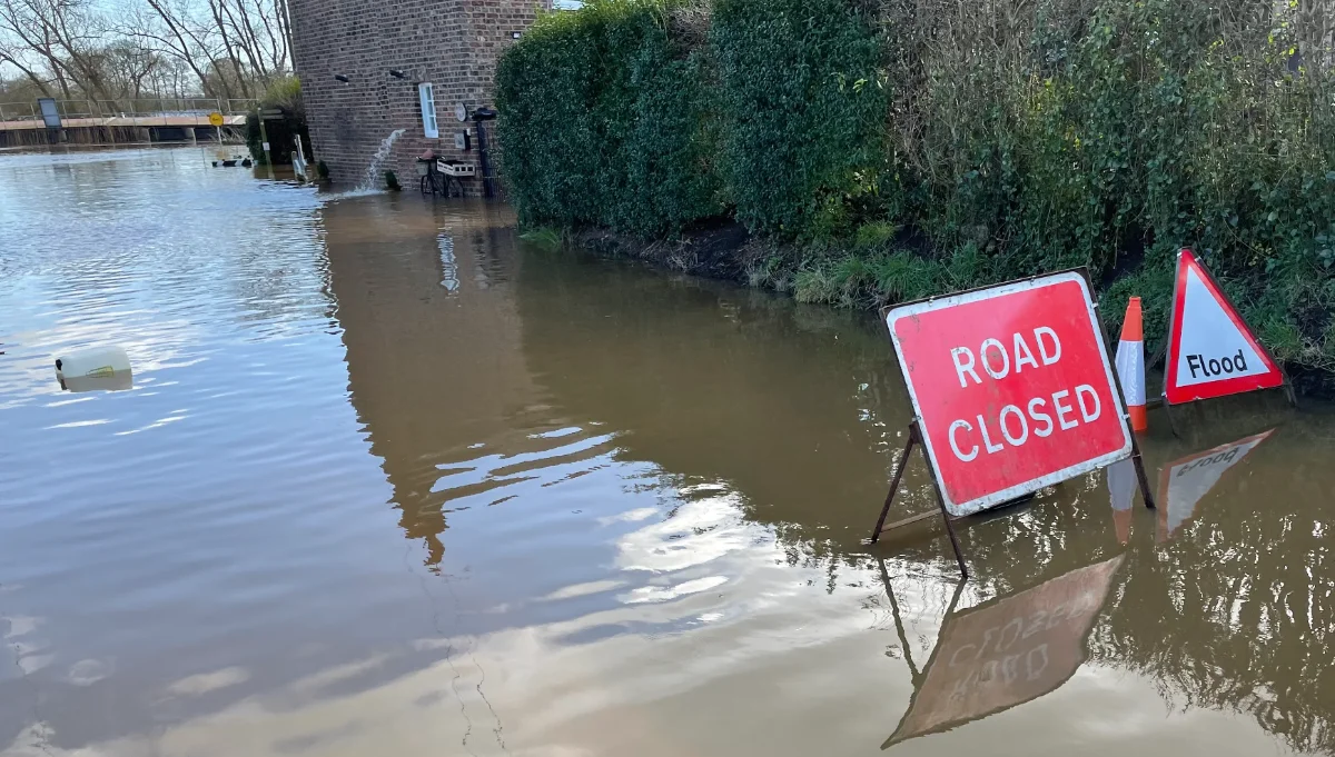
The following empirical information has been gained by monitoring flooding activity in Acaster Malbis over a number of years.
| 5.2m | Darling Lane flooded. No exit from the village for Mill Lane residents. Emergency team available for evacuation or emergency care. |
| 5.0m | Extensive flooding along Mill Lane. More Riverside properties at risk. Emergency Plan put into effect. |
| 4.6m | Flooding of lowest levels of Mill Lane – access is restricted to Mill Garth Park. |
| 4.4m | Cowper Lane is flooded. Darling Lane is the only exit for Mill Lane residents. |
| 4.2m | Low lying riverside properties at risk. Slipway corner is flooded. Bus service calls at Mount Pleasant and goes to Bishopthorpe via Appleton Road. |
| 4.0m | The sewer pumping station serving Moor End is switched off. |
| 3.0m | The Ship Inn to Bishopthorpe (Acaster Lane) is impassable for all vehicles. |
| 2.9m | The 21 Bus service diverts via Cowper Lane and Appleton Road. |
The highest level recorded at the Viking recorder measuring station is 5.4m (recorded on 4 November 2000). Recorder levels of 5m are rare and have historically reduced within 24-48 hours to restore access to the village.
Bus Diversion
The no 21 bus diverts when the level reaches 2.9m on the Viking record as per the above table.
The bus route will return to normal only when the road is completely clear of water. Normally, the last place to clear is opposite Garth Farm on Acaster Lane. If the fields have flooded, the road will only clear some time after the river has returned to a lower level.
Flood Alert/Warning Services
To check for Flooding: https://check-for-flooding.service.gov.uk
To sign up for flood warnings: https://www.gov.uk/sign-up-for-flood-warnings
The flood warning signs on Hauling Lane and Acaster Lane can only be operated by the Highways Authority (City of York Council).
Flood Warden
The information above is provided by Pam Walker the Acaster Malbis Flood Warden.