
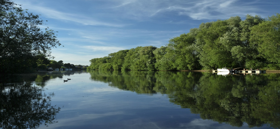
The parish of Acaster Malbis lies on the west bank of the River Ouse some four miles south west of the City of York. It is a rural parish covering circa 1800 acres [see map] and has approximately 800 residents. Acaster Malbis Parish Council makes decisions on many issues that affect the local community probably the most common of which relate to planning matters (the parish council is a statutory consultee).
Working closely with other tiers of local government, especially the City of York Council (CoYC), Acaster Malbis Parish Council has the power to raise money through taxation which is called the precept. The precept is a share of the council tax which assists the council in its statutory activities in managing open spaces, maintaining its public assets and campaigning for better services and facilities for the community.
Where possible the council provides grants for qualifying bodies.
Meetings
The parish council normally meets on the 2nd Monday of the month.
Our next meeting is on 13 July 2026.
Clerk Vacancy
There is an vacancy for a clerk to the Parish Council.
Click the link below for full details of the position.
Councillor Vacancy
There is a vacancy for a councillor following the resignation of Cllr Jim Kraus.
Click the link below for more details.

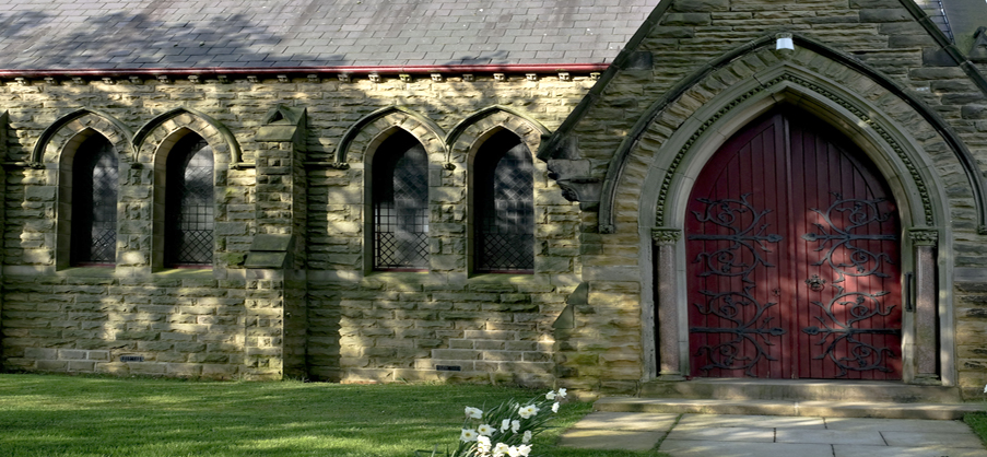
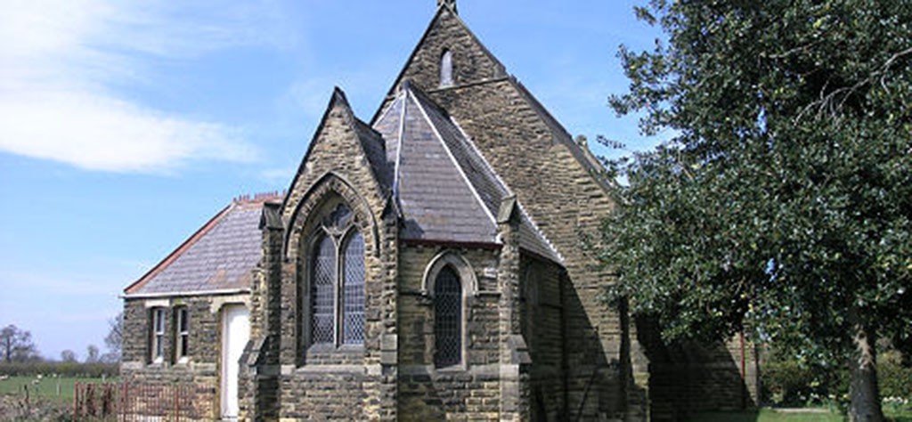
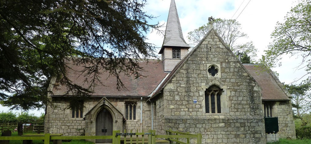
The crest used in our logo is the coat of arms of Sir John de Malebisse who died in 1316 and whose effigy is displayed in the Holy Trinity Church, Acaster Malbis.